More than a positioning device: How INES combines positioning, navigation, missions and safety in one module
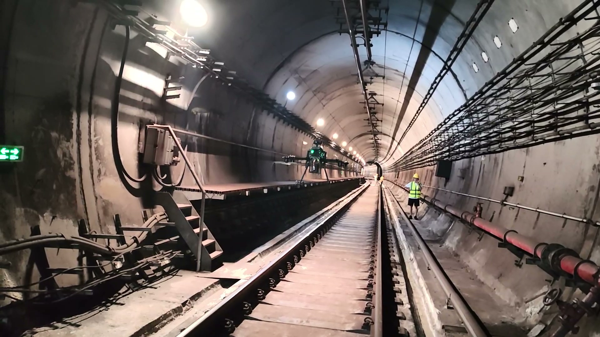
Robotic inspection is moving beyond open areas into increasingly complex spaces: below bridges, deep inside tunnels, within factories and among large warehouses.
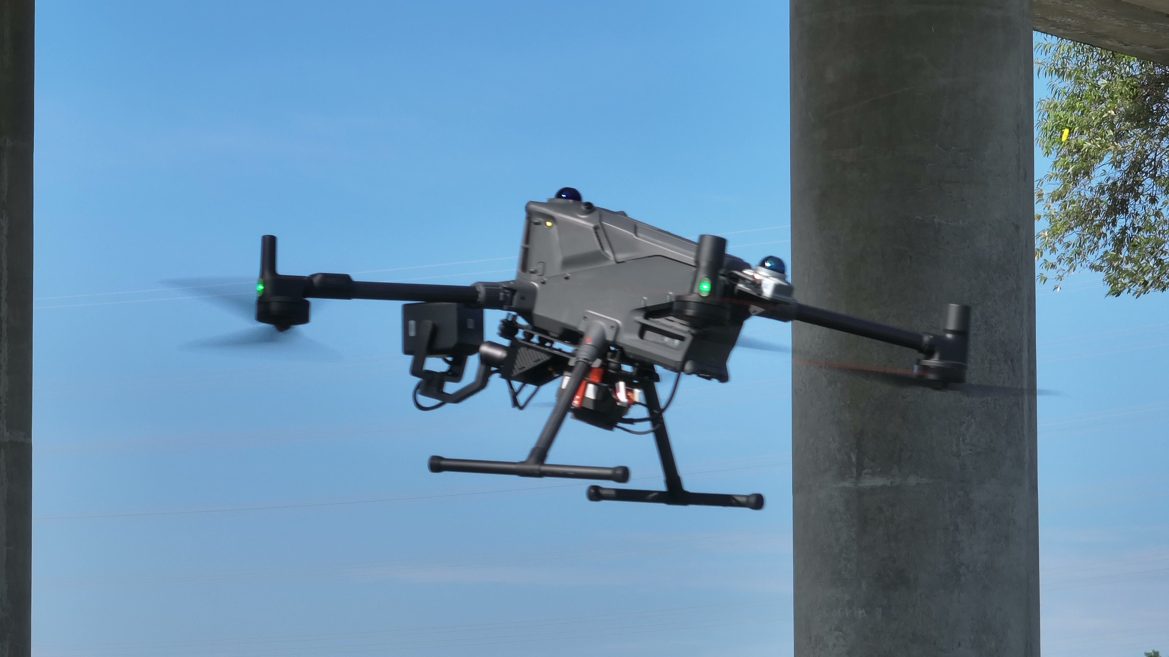
These locations share a technical challenge: GNSS signals may be blocked, weakened or unavailable. Without a reliable position reference, route tracking, mission execution and safe obstacle avoidance become difficult.
INES (Intelligent Navigation & Embedded Sensing) addresses this challenge. Rather than a positioning device alone, it is an onboard system combining multisource positioning, autonomous navigation, mission execution and safety protection, enabling continuous, accurate operation with or without satellite signals.
This article explains its core capabilities through positioning, mission management, platform integration and safety.
01 LiDAR–vision SLAM: Stable positioning in tunnels
In enclosed spaces, robots largely rely on simultaneous localisation and mapping (SLAM). LiDAR-only SLAM can struggle in tunnels and long straight utility corridors, where simple, repetitive geometry produces similar point clouds at different locations. Incorrect matches can cause apparent sliding and pose drift.
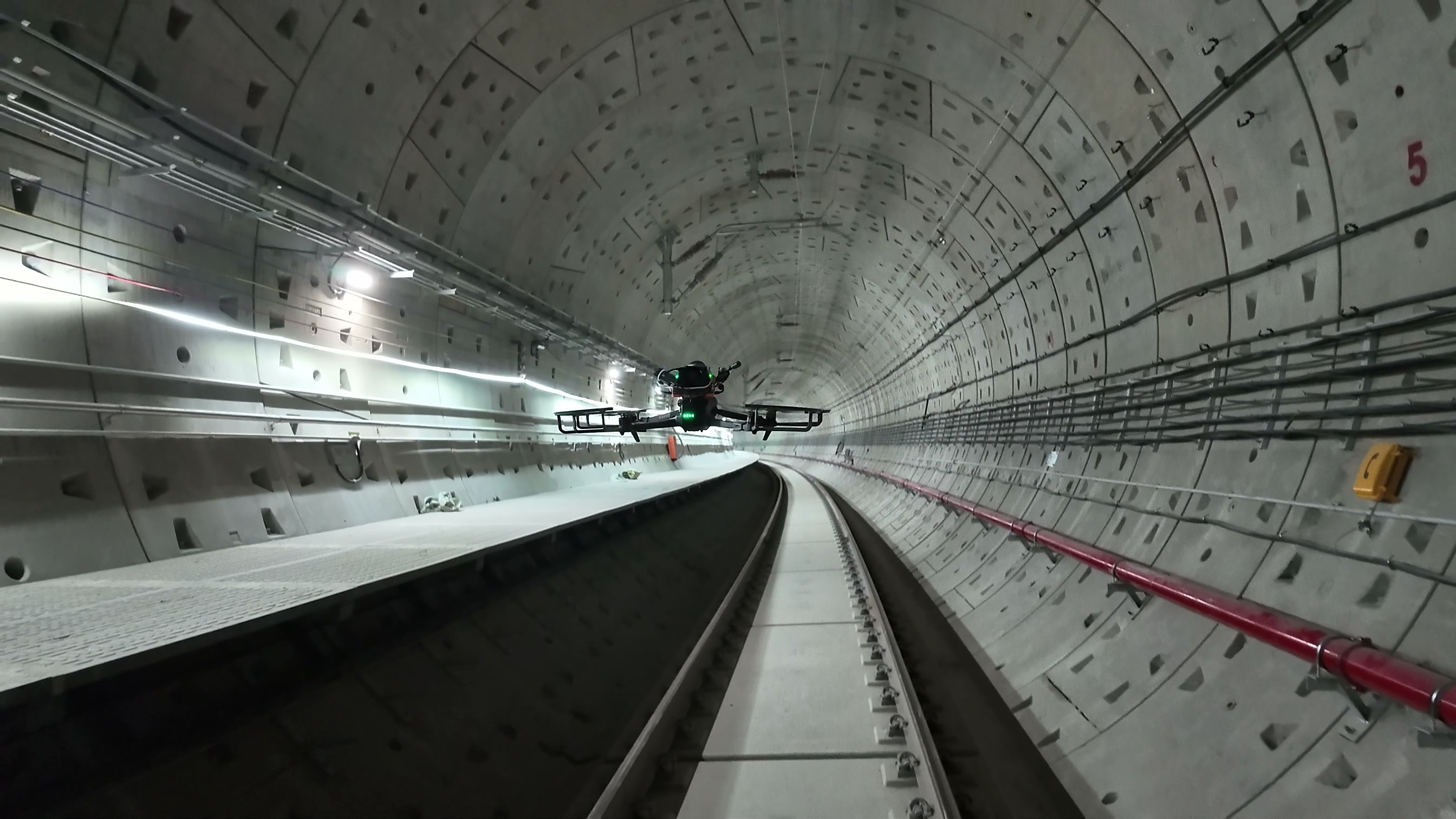
INES combines LiDAR and visual SLAM: LiDAR supplies precise geometry while visual sensors capture texture and semantic features. The fusion engine cross-checks these complementary sources. Visual information adds constraints where geometry is ambiguous; laser point clouds support stability when lighting changes affect images.
This LiDAR–vision architecture maintains stable positioning in potentially degenerate environments such as tunnels, culverts and factories, with fused positioning accuracy reaching within ±1.5 cm.
An IMU supplies high-rate attitude and motion measurements to bridge sensor updates, further supporting continuous real-time positioning.
02 Seamless RTK–SLAM switching across outdoor and indoor areas
Inspection missions often span different environments. A drone taking off from a bridge deck can use centimetre-level RTK positioning under open sky. Satellite signals may weaken or disappear as it flies below the bridge or approaches piers.
INES receives both RTK and SLAM positioning and monitors their quality in real time. Entering a GNSS-denied area triggers a switch to SLAM; returning to open sky with restored RTK allows a smooth switch back.
During transitions, the fusion engine uses IMU data to maintain pose continuity and avoid position jumps or attitude interruptions. Missions can continue without stopping or breaking the route, supporting continuous positioning from outdoors to indoors and from above to below a bridge.
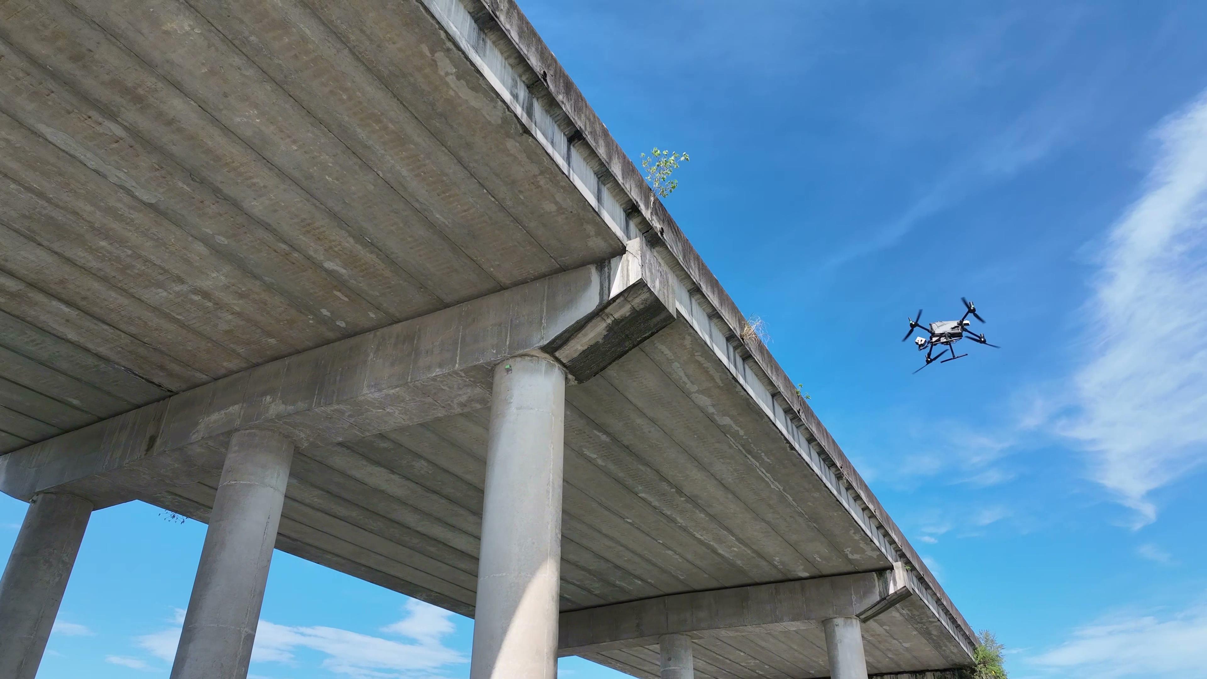
Switching strategies and thresholds are configured and validated for the operating environment, point-cloud map and aircraft during each project.
03 Simulation first: Validate positioning, navigation and missions before field execution
Trial and error in confined spaces is costly. Discovering a route problem after entering a tunnel or a positioning-transition issue under a bridge consumes field time and creates safety risks.
INES supports end-to-end simulation of positioning, navigation and mission execution. Before sending a mission to a real robot, load a point-cloud map and simulate sensor inputs to check fusion stability, route tracking, waypoint actions and switching behaviour.
This adds an early validation stage, exposing configuration problems and route conflicts before field operation. For projects spanning platforms and scenes, simulation also helps validate integration plans and tune parameters.
04 Standard route files: Separate planning from onboard execution
An open navigation system should not be tied to a closed mission format.
INES reads standard route and mission files such as KML, validating them onboard and executing route tracking and predefined waypoint actions. Files can describe heading, gimbal angles, camera settings and photograph or video commands in addition to waypoint positions.
Standard formats allow flexible workflows. Routes may be generated in ARP and delivered through AGS, or produced by another compatible planning tool. With a matching format, INES can recognise and execute the mission without depending on one planning application.
Mission management records waypoint indices and action status, supporting interrupted-mission continuation, starting at a selected waypoint and segmented execution. Resume after battery replacement, recapture an area or review a component without repeating the entire route.
05 Cross-platform integration: One navigation core for different robots
Inspection scenes call for different robot forms: aerial drones, quadrupeds and wheeled AGVs have different motion and control interfaces. INES is not tied to one carrier; hardware and protocol adaptation allows its core to run across platforms.
For drones, INES can connect with flight-control ecosystems such as DJI PSDK and PX4, integrating onboard computing, LiDAR and gimbal cameras. Ground robots are integrated according to their motion-control interfaces, power supply and sensors.
Users need not learn a different navigation approach for each robot. Fusion positioning, route execution, mission management and safety share a common core; differences are handled through device drivers and kinematic configuration.
06 Open sensor support: Integration with multiple LiDAR models
Positioning quality depends strongly on the sensor configuration. INES supports an open choice of LiDAR, including:
· Livox MID360: Non-repetitive scanning solid-state LiDAR for lightweight onboard platforms;
· Fairy: A LiDAR option for specific platforms;
· JT128: Mechanical multi-beam LiDAR;
· XT32: 32-channel LiDAR for applications requiring point density and ranging coverage.
LiDAR models differ in scanning pattern, density, field of view and ranging capability. Selection balances payload, spatial geometry, map accuracy requirements and budget. RTK and IMU inputs can also be configured by project.
07 Obstacle detection and collision protection in complex spaces
Preset routes cannot account for every site change below bridges, in tunnels or inside factories. Temporary equipment, added structures, personnel and moving obstacles may enter a planned path.
INES continuously detects obstacles from real-time sensor data and offers two configurable operating modes:
Collision-protection mode (warning): On detecting an obstacle and a collision risk, the system warns and slows or hovers. Operators assess the scene and decide what happens next. This mode suits operations requiring continuous human control and limited automatic intervention.
Automatic avoidance mode: The system detects and avoids an obstacle autonomously, without requiring manual intervention for that manoeuvre.
08 Automatic avoidance: Local replanning using A*
Automatic avoidance generates a safe local detour alongside the global route in real time.
When an obstacle blocks the route, INES builds a local cost map from sensed space and uses algorithms such as A* to find a feasible detour that stays close to the original route. It controls the robot along the detour and rejoins the preset route after passing the obstacle.
The mission loop includes both the detour and route recovery, rather than ending at an obstacle. Safety clearance, detour strategy and speed limits can be configured for the robot and scene.
Automatic avoidance does not remove the need for supervision. Take-off, return, abnormal-event handling and manual takeover must still follow aircraft requirements, site rules and project operating manuals.
In closing: Purchase INES independently and adapt it to your platform and scene
INES need not be supplied only as part of a complete inspection solution. It can be sold, procured and integrated independently.
Teams with an existing robot platform, or a need for multisource positioning in a specific scene, can procure INES alone and adapt the following project elements:
Robot platform: Integrate the flight or motion-control interface, power supply and mounting for a specific drone, quadruped or wheeled AGV;
Route and mission formats: Support standards such as KML or adapt interfaces to existing project planning systems;
Sensor configuration: Integrate LiDAR, RTK and IMU models required by the application;
Application scene: Validate positioning, maps, safety rules and mission workflows for bridge undersides, tunnels, utility corridors, factories, warehouses or other GNSS-denied spaces.
Provide the robot platform, sensor configuration, workspace and mission requirements. We confirm an INES integration plan to embed navigation in the existing system in a way suited to the project's requirements.
As robots enter more complex real-world spaces, reliable positioning and navigation are prerequisites for autonomous action, not optional extras.