
From 20 hours to 6.6: the efficiency gain lies in “not hovering”
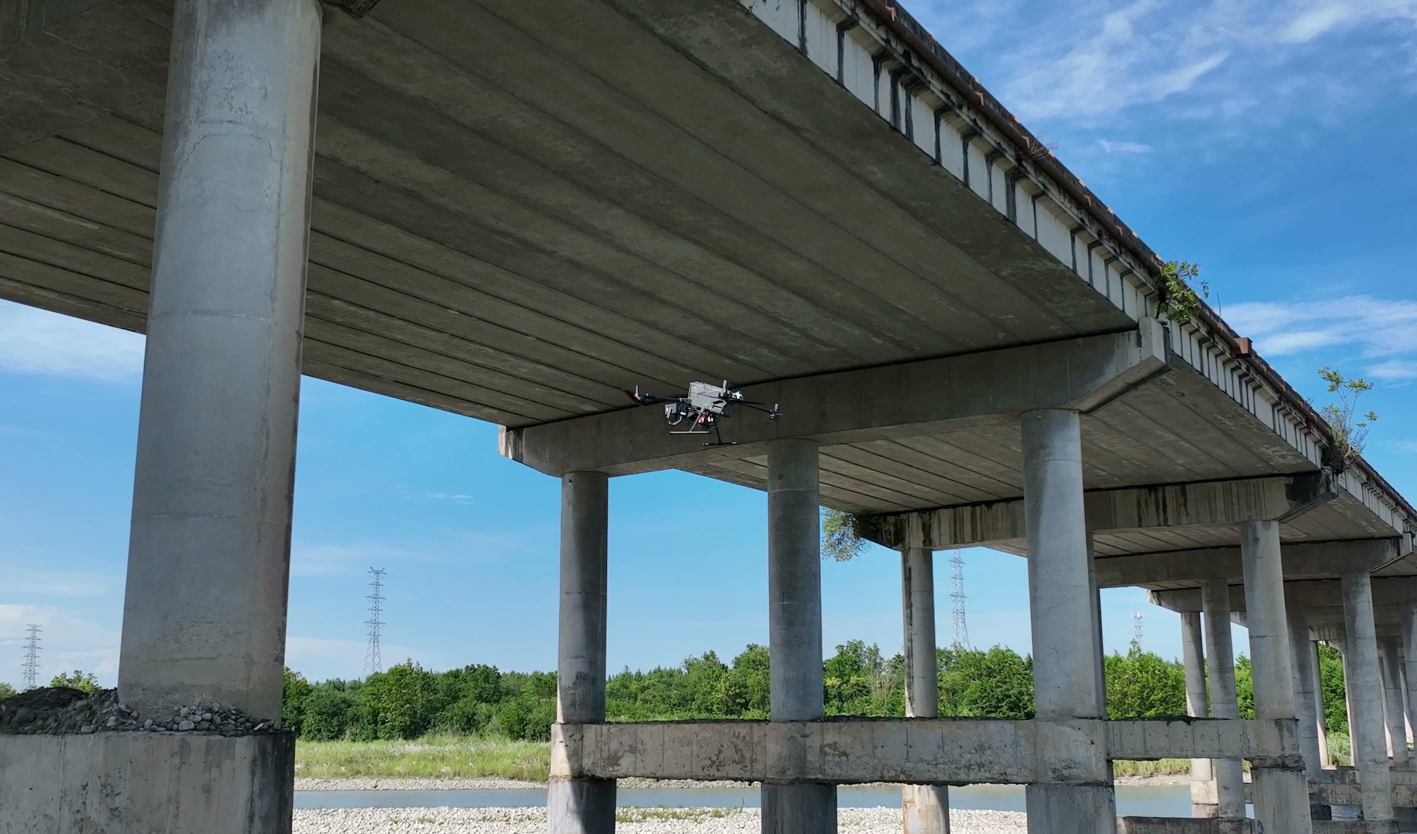
Among all stages of drone-based bridge inspection, inspecting girders beneath the deck takes the most time and places the greatest demands on equipment.
Under-bridge spaces are narrow and structurally complex. To photograph every crack and avoid missing defects, closely spaced lawnmower routes are planned so the drone scans the girder underside row by row. Adjacent images retain 10% overlap to prevent gaps during stitching.
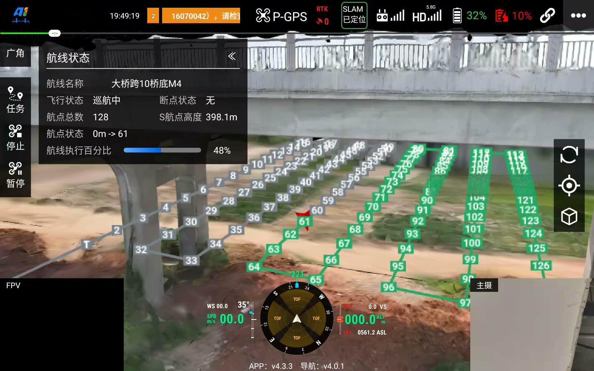
To keep each photograph sharp, conventional operations require the drone to hover at each waypoint, trigger the shutter and then move to the next waypoint.
This “fly–stop–shoot–fly again” cycle is the source of the efficiency bottleneck.
01 The first calculation: why one bridge can take two or three days
Consider a typical span approximately 20 metres wide and 30 metres long.
A lawnmower route with 10% overlap requires approximately 210 waypoints per span. At each waypoint, the drone decelerates, hovers, takes a photograph and accelerates again. Flight and image capture for one span take approximately 40 minutes.
What does 40 minutes mean? It approaches the M400 drone’s single-battery endurance limit. After one span, the battery is largely depleted, so the drone must return for a replacement before continuing.
Including the return flight and battery change, completing one span actually takes approximately 50 minutes.
For a bridge approximately 700 metres long with 24 spans, total operating time is:
24 spans × 50 minutes ≈ 20 hours
Allowing for site preparation, weather windows and crew scheduling, a full under-bridge inspection usually takes two to three days. This is difficult for maintenance organisations: bridge inventories grow while inspection cycles remain hard to shorten.
02 Distance-triggered capture: from stopping to shoot to shooting in flight
The approach to breaking this bottleneck is straightforward: can the drone take photographs while flying, without hovering?
AIFORAIL’s distance-triggered capture function for under-bridge inspection implements this approach. Instead of hovering at each waypoint, the drone follows the route at a constant speed and automatically triggers the shutter at preset spatial intervals—one photograph per fixed distance travelled, with continuous movement throughout.
In distance-triggered capture mode, flight speed is controlled between 1 m/s and 2 m/s. Although modest, it can increase overall operational efficiency by three to five times compared with decelerating, hovering and accelerating again at every waypoint.
The route still uses lawnmower coverage with 10% overlap. Data completeness remains the same as in hover mode; only the motion during capture changes.
03 The second calculation: reducing 20 hours to 6.6
Compare the same bridge span.
With distance-triggered capture, flight and image collection per span fall from 40 minutes to approximately 13 minutes. A single battery can therefore support three consecutive spans (see ARP route stitching on this website), without returning for a battery change after every span.
Including the return flight and battery change, three spans take approximately 50 minutes—the same time as one span in hover mode.
For a 24-span bridge:
24 spans ÷ 3 spans/group × 50 minutes ≈ 6.6 hours
In other words, the complete underside of a 700-metre bridge can be inspected within one day. Work that previously required two or three days can finish in one working day, substantially easing crew, equipment and weather-window pressures.
But one key question remains: can photographs taken in flight still be sharp?
This is the real technical challenge of distance-triggered capture. It is not simply replacing hover photography with timed photography; it places higher demands on the entire imaging system.
04 A large full-frame sensor: exposure at fast shutter speeds
When the drone flies at 1–2 m/s, the shutter must be fast enough to freeze movement and avoid blur—typically 1/800 second, or even 1/1600 second or faster.
A faster shutter allows less light to reach the sensor during each exposure. Conventional small sensors struggle to obtain sufficient exposure at these speeds: images darken, signal-to-noise ratio falls and fine details such as cracks can disappear into noise.
AIFORAIL’s bridge inspection system uses a large full-frame sensor. The larger light-sensitive area allows individual pixels to collect more light. In bright conditions, it can obtain correctly exposed, detailed under-bridge images even at 1/2000 second.
In short, slow shutters are unsuitable for continuous capture in motion. Keeping images sharp at fast shutter speeds requires sufficient light-gathering capability from a large sensor.
05 Global shutter: addressing rolling-shutter distortion at its source
Fast shutter speeds address motion blur, but another issue remains: rolling-shutter distortion.
Many cameras use a rolling shutter, exposing and reading the image row by row rather than simultaneously. When the camera moves, small timing differences between rows can make objects appear tilted, distorted or wavy. This is the rolling-shutter, or “jello”, effect.
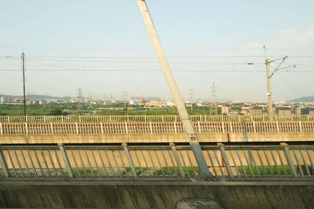
In under-bridge inspection, distortion of straight structures such as girder edges and component joints affects more than appearance: it can also interfere with crack measurements and defect recognition.
AIFORAIL’s imaging system uses a global shutter, exposing the entire image at the same instant without row-by-row timing differences. It preserves geometric fidelity during drone movement and avoids this source of rolling-shutter distortion.
06 High-power LED lighting: reducing uncertainty from natural light
The preceding two features address sharp capture when light is available. Under-bridge inspection also faces a more fundamental issue: there is often too little light.
Overcast weather, dusk, restricted clearance or structural shading can leave natural light insufficient for fast shutter speeds. Adjusting camera settings alone cannot resolve this; active illumination is needed.
The system incorporates high-power LED lighting to provide stable, even illumination in low-light scenes. Even without ambient light, the lamps can produce clear, usable imagery, reducing distance-triggered capture’s dependence on weather and time of day.
Lighting, fast shutter speeds and the global shutter work together: lighting supplies exposure, the shutter freezes motion and global exposure preserves geometry. Together, they support image quality during continuous flight.
In closing: efficiency comes from system coordination, not isolated optimisation
Looking back, the improvement from 20 hours to 6.6 appears to be a matter of hovering versus not hovering. Behind it, however, is a coordinated set of capabilities:
Route planning maintains lawnmower coverage and overlap while stitching multiple spans into one sortie. Positioning and navigation maintain flight accuracy. The full-frame sensor supports exposure at fast shutter speeds, the global shutter preserves geometry in motion and LED lighting stabilises imaging in low light.
If any part falls short, distance-triggered capture cannot work reliably: the drone may deviate from its route, or images may be blurred, underexposed or distorted.
Bridge inspection efficiency ultimately depends not on a single specification, but on coordination between acquisition, imaging, positioning and mission planning. Connecting this entire workflow makes “one bridge in one day” a repeatable operational capability rather than just a concept.